As mapping professionals are called on to map larger and larger areas around the world, photogrammetry software is evolving to meet their needs. Today, Pix4D announces PixDmatic: faster, accurate photogrammetry on a larger scale.
“Projects that would have previously been mapped by aircraft are now being surveyed with drones,” says a Pix4D press release. “With Pix4Dmatic, these expert projects are made possible and easier.”
Drones have gotten more reliable, easier to fly, and more accepted on work sites. The cost advantage to using drones instead of manned aircraft is significant: so is the ability to launch drones more often, more easily. Drone borne sensors are getting lighter, better, and more closely integrated into drone platforms. And airspace regulations around the world are shifting to allow expanded operations that make drone mapping more practical.
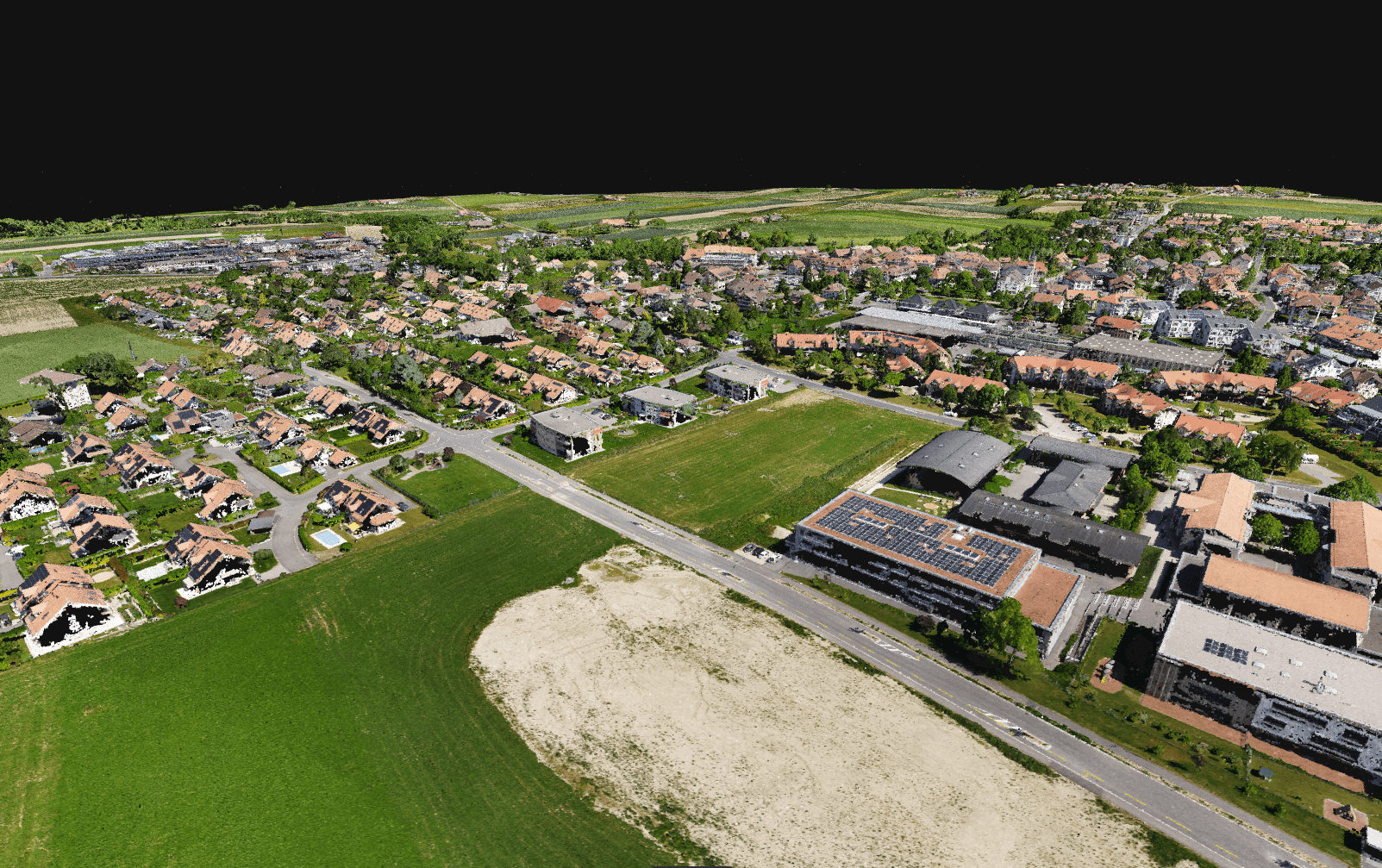
“Drone flights beyond the visual line of sight (BVLOS), when permitted by law, are often considered the next frontier of drone mapping,” says the press release. “Pix4Dmatic now offers support also for the large datasets resulting from multiple flights by easily processing over 10,000 images without compromising the results’ accuracy. This software will potentially open the door to a new era of drone mapping.”
 Christoph Strecha, Pix4D’s Founder and CEO, explains: “Pix4Dmatic will revolutionize the way corridor and large scale surveys are completed by creating the opportunity for every surveying and mapping professional to achieve high-quality and reliable results.”
Digital photogrammetry has become an essential part of every modern surveyors’ toolkit and has inspired hundreds of new drone mapping businesses around the world. Pix4Dmatic is now unlocking another scale in digital photogrammetry by making the processing faster and the experience more intuitive.
Pix4Dmatic is now available for purchase for Windows and macOS on Pix4D.com, via official resellers, or by contacting the Pix4D sales team. Pix4Dmatic offers native compatibility with Pix4Dsurvey to bridge the gap between photogrammetry and CAD.
https://dronelife.com/2020/09/21/photogrammetry-is-evolving-pix4d-announces-pix4dmatic/


