Pix4Dmatic

Pix4D and Wingtra Integration for Faster Mapping

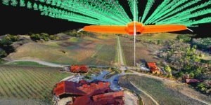
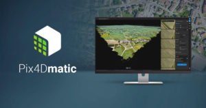
Wingtra‘s recent WingtraHub 1.0 release introduces a lean workflow between the WingtraOne drone and Pix4Dmatic, a “fresh Pix4D product for reliable speedy processing of large datasets,” says a Wingtra press release.  “This integration is especially key since Wingtra’s VTOL drone is designed to map large sites fast and safely while …

Read More »

Photogrammetry is Evolving: Pix4D Announces Pix4Dmatic

As mapping professionals are called on to map larger and larger areas around the world, photogrammetry software is evolving to meet their needs.  Today, Pix4D announces PixDmatic: faster, accurate photogrammetry on a larger scale. “Projects that would have previously been mapped by aircraft are now being surveyed with drones,” says …

Read More »