Dear dronists!
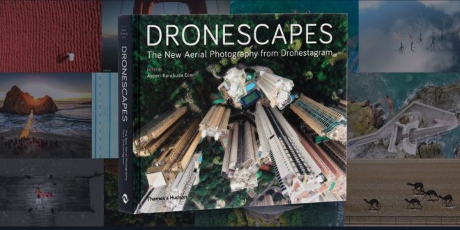
Here’s an idea for a great gift: our book Dronescapes: The New Aerial Photography from Dronestagram published by Thames & Hudson! Now you have
 20% off Dronescapes at thamesandhudson.com.*
*Offer not valid in conjunction with any other promotional offer. Excludes customers in North America. Offer ends 1st July 2017.
More about the book
Once used only by the military for surveillance, drones are now commonplace, used for cartography, mail delivery, and now aerial photography. These small, affordable, lightweight machines can take pictures from up to 500 feet in the air and from places where no other device is able to fly.
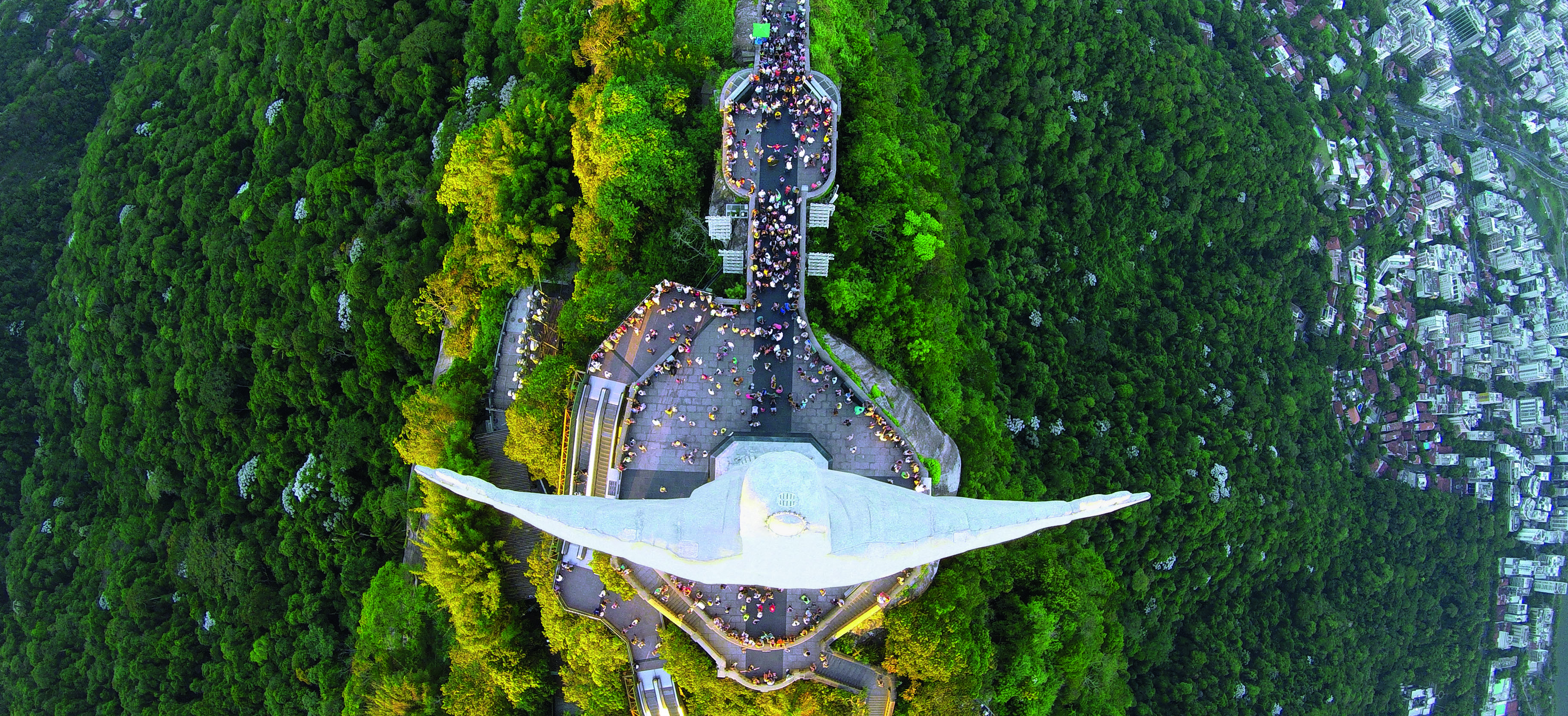
p 40-41 Rio de Janeiro, Brazil By Alexandre Salem. Latitude -22.9068, Longitude -43.1729, Altitude 900m (2,952 ft.) © 2017 The Photographers of Dronestagram
Published by Thames&Hudson and edited by highly renowned photography editor Ayperi Karabuda Ecer, DRONESCAPES is the first book to bring together more than 250 of the very best photographs taken by quadcopters around the globe, most never seen in print before, and opens up an entirely new level of aerial photography.

p 195 Oskarström, Sweden by [email protected]. Latitude 56.7947, Longitude 12.9759, Altitude 12m (40 ft.) © 2017 The Photographers of Dronestagram
Whether it’s a bird’s-eye view of Christ the Redeemer in Rio de Janeiro, a photograph taken inches away from an eagle in midflight, or a vertiginous shot taken above Mexico’s Tamul Waterfalls, DRONESCAPES presents stunning sights of our world taken from entirely new vantage points that highlight altitude as well as longitude and latitude.

The book’s introduction discusses how the arrival of drone photography signals a major shift in the history of aerial photography, and the volume also includes extended commentaries on the creation of individual images, as well as a concise guide with technical advice on how to select and use a drone.

p 118-119 Saint-Malo, France By Easy Ride. Latitude 48.6612, Longitude -2.0099, Altitude 16.1m (53 ft.) © 2017 The Photographers of Dronestagram
Showcasing the beauty and wonder of the planet as captured by drone-borne cameras, DRONESCAPES changes the way we see our world.
About the Authors
Ayperi Karabuda Ecer is a photo editor who served as vice president of pictures at Reuters, editor in chief at Magnum Photos Paris, and chair of the World Press Photo jury.
Dronestagram is the world’s leading drone photography website at www.dronestagr.am
Founded in 2013 by the hobbyist Eric Dupin, in partner with Guillaume Jarret, with the aim of providing an online resource for drone photgraphers, Dronestagram is now quickly evolving as the go-to visual reference for drone photography. It even hosts various photograph competitions, among them the prestigious National Geographic/Dronestagram International Drone Photography Contest 2017.

http://www.dronestagr.am/blog/dronescapes-dronestagram/


