 Coachella’s Organizers Should Have Created Digital Twins for Security
The following is a guest post by Nilson Kufus, Co-Founder & CEO of digital twin and 3D model platform Nomoko. DRONELIFE neither accepts nor makes payments for guest posts.
Continue reading below, or listen:
Coachella Valley Music and Arts festival began on April 14th, when over a quarter million people descend on the desert of Indio, California. Event organizers for festivals of this scale need to make strong considerations when it comes to security preparations. Crowd control issues that could have been prevented have led to tragedies at festivals in the past. Less than two years ago, ten young fans were killed in the crowd at Astroworld Festival in Houston, Texas, with hundreds more injured. Astroworld had only a fraction of fans in attendance, compared to Coachella.
Technological advancements and the implementation of drones for event safety preparations have created the opportunity for event organizers to prevent such tragedies. However, following the Astroworld incident, event organizers are now more cognizant of the severity of issues that can arise if they are not properly prepared with advanced safety measures.
Application of digital twins for security
The advancement of drone usage has assisted in increasing safety measures by creating digital twins of large-scale spaces. This technology can create a digital twin for a space, such as Empire Polo Club, where Coachella is hosted. Digital twins can be made in advance of events to fully map out the space and assess any issues ahead of time. They are multifunctional and created for a vast range of uses including urban planning, real estate, mapping, media and entertainment, and security.
3D Digital Twins have high spatial and temporal accuracy, enabling security managers to make decisions that keep patrons safe. With a comprehensive digital twin, security teams can:
- assess vulnerabilities and create effective solutions
- identify risks and critical spots such as bottlenecked exits or overcrowded areas
- assign agent positions to manage crowds and provide additional supervision
- model scenarios to practice and prepare for issues that might arise throughout the space
- and draw contingency plans accordingly that allow for backup to be in place
How accurate is this technology?
Digital twins can serve as a common operational picture for all agents to best prepare security staff and management.
But how is this done with such accuracy that it can be effective?
Drones can create high resolution copies of physical spaces at scale and at a portion of the cost but require the use of the proper tools for photorealistic 3D digital twins. Drones are the most agile tool for gathering images of the real world because they can capture aerial images from a wide range of angles and altitudes, all while accessing areas that are both difficult and dangerous for humans to reach.
When it comes to reconstructing the real-world from images, there are two ways to think about accuracy: relative accuracy and absolute accuracy.
Relative accuracy relates to the position of elements within the digital reconstruction. For example, good relative accuracy at Empire Polo Club would be when the distance measured between two stages on the digital model is the exact same as it is in the real world.
Absolute accuracy relates to the accuracy of the digital reconstruction in relation to its true geographical position on earth. For example, a good absolute accuracy at Coachella would be when the exact latitude and longitude of the famous Ferris wheel corresponds well with the actual GPS coordinates of it in the real world.
How can event organizers create a digital twin?
Drone mapping has been democratized. This means that off-the-shelf and easy to use drones can be used in collaboration with simplified image processing software. With these advancements, almost anyone can use tools to create simple maps and precise 3D models.
That being said, event organizers can and should rely on trusted partners to achieve high quality results without the hassle of the learning curve. That way, they can focus on their area of expertise, all while benefiting from the advantages of digital twins of the real world for more efficient planning and operations.
With the advancement of drone technology and high-end software used to take drone footage and turn it into digital twins, large scale event organizers and security managers should be using these highly accurate models to maximize security preparation effectiveness and improve safety operations. By working with a partner that can source this data and create the necessary digital twins, event organizers can keep events like Coachella safe and fun for everyone.
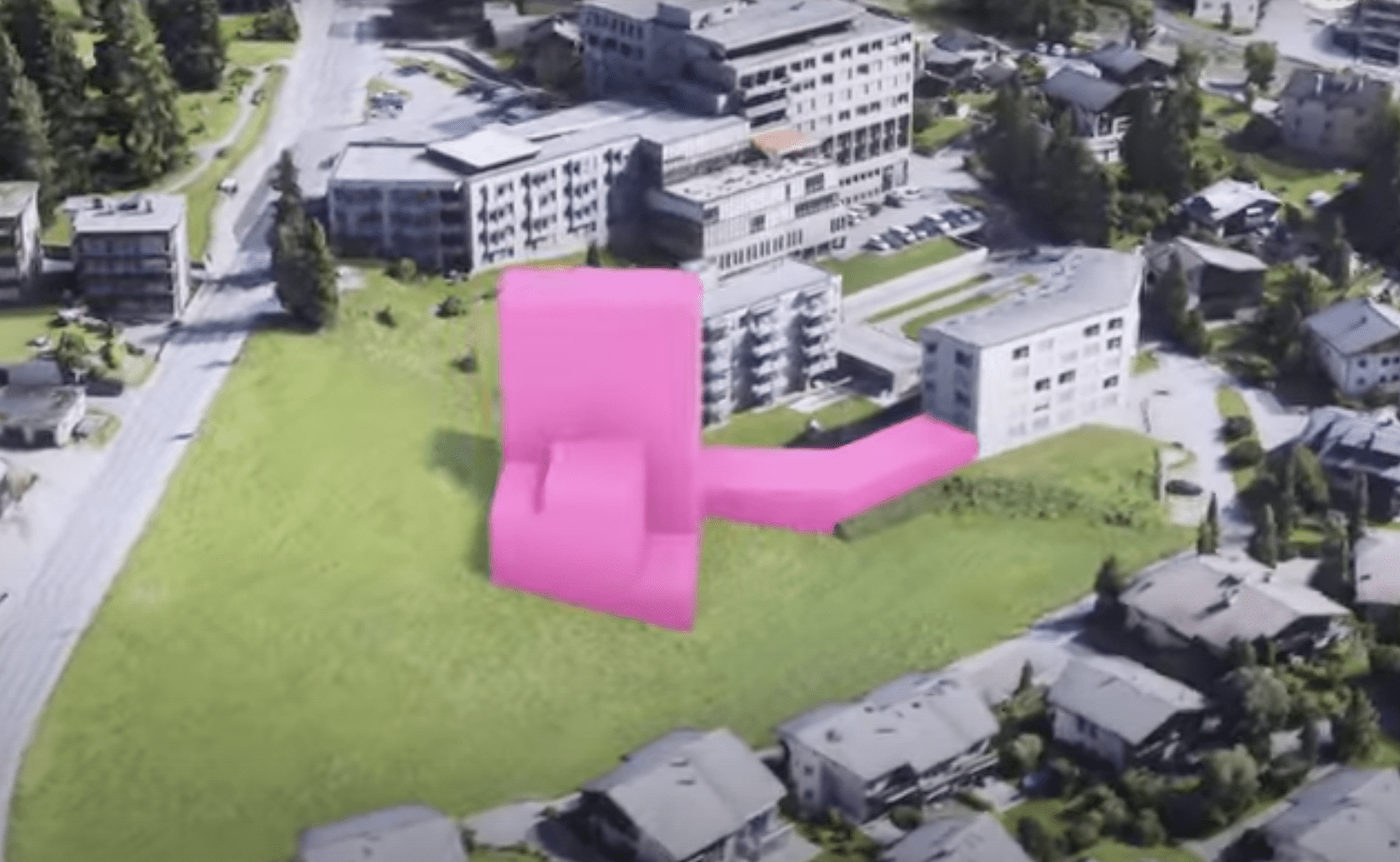
Check out this 3D visualization of Davos, Switzerland:
Read more:

Nilson Kufus is the CEO and co-founder of digital twin and 3D model platform Nomoko. Nilson has a degree in Liberal Arts & Sciences from the University College Maastricht, where he built his curriculum around courses such as business, artificial intelligence, and media. Nilson was a Digital Shaper of Switzerland 2019, and is a TedX Salon speaker and a Guest lecturer at ETH Zürich & FH HWZ. Fun Fact: Nilson Kufus is also a former Swiss figure skating champion.
Miriam McNabb is the Editor-in-Chief of DRONELIFE and CEO of JobForDrones, a professional drone services marketplace, and a fascinated observer of the emerging drone industry and the regulatory environment for drones. Miriam has penned over 3,000 articles focused on the commercial drone space and is an international speaker and recognized figure in the industry. Miriam has a degree from the University of Chicago and over 20 years of experience in high tech sales and marketing for new technologies.
For drone industry consulting or writing, Email Miriam.
TWITTER:@spaldingbarker
Subscribe to DroneLife here.
https://dronelife.com/2023/04/20/should-coachella-be-using-drones-and-digital-twins-for-security-the-new-standard-in-event-management/


