FEDS Drone-powered Solutions provides detailed agricultural drone data to increase resource efficiency and preserve scarce natural resources
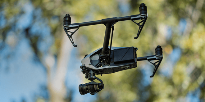
FEDS Drone-powered Solutions (FEDS) is deploying drones and other advanced technology to revolutionise sustainable agriculture. Regardless of the location and local environment, drones and Machine Learning (ML) are potent difference-makers that can give farmers and agronomists access to rich, up-to-date data and valuable insights into their crops, enable the development of sustainable plans, and maximise resource efficiency.
Agriculture and the food-trade are the two primary engines responsible for feeding the world’s nearly 8.1 billion inhabitants. Agriculture is also intrinsically tied to the United Nation’s Sustainable Development Goals (SDGs), which were introduced in 2015 as a universal call to action to end poverty, protect the planet, and ensure that all people enjoy peace and prosperity by 2030. SDG 2 ‘Zero Hunger’ calls for an end to hunger, achieving food security and improved nutrition, and the promotion of sustainable agriculture.
While the agriculture industry has been able to meet the growing demand for food, it has done so at a significant cost to the environment. Reports note that agriculture is the second most polluting sector and accounts for about 11% of total global greenhouse gas emissions.
Fully achieving the requirements of SDG 2 therefore requires that the agriculture industry evolve and move towards sustainable practices. These advanced methods of farming will improve environmental health, minimise environmental impacts, reduce environmental risks, optimise resource usage and conservation, and – crucially – offer improved food production. Precision agriculture has been gaining traction in recent years, and the use of drones and other technology has proven to be of significant value.
“FEDS is committed to driving sustainable agricultural practices that enhance food security, protect natural resources, and support the wellbeing of farming communities across the globe. Drones offer a path to precision farming over large areas of land which allows farmers to deploy resources including fertiliser, water and pesticides exactly when and where they are needed, reducing wastage and minimising environmental impact. Equipped with advanced sensors, drones can also help farmers monitor plant stress and the presence of disease or pest infestations before issues would normally become visible to the human eye. As a result, farmers can respond in good time, prevent further damage and maintain crop yields,” said Rabih Bou Rached, Founder and CEO of FEDS.
Drones further aid sustainable precision agriculture by capturing data that can be used for soil analysis, which can help farmers better understand the needs of their fields. By making decisions based on the analysis of drone supplied data, farmers can work to boost soil fertility and health, and enjoy sustainable growth over the long term.
In the UAE, FEDS worked with the Ministry of Climate Change and Environment (MoCCaE) whose goal was to take advantage of detailed agricultural drone data to increase resource efficiency, better direct farmers’ efforts and preserve scarce natural resources. The approximate area of 1,100kmsq was spread over six emirates (Dubai, Sharjah, Ajman, Ras Al Khaimah, Umm Al Quwain and Fujairah) and required accounting for trees, livestock, greenhouses, barns, crops, shrubs, water wells and pipelines.
In this case FEDS used drones that autonomously followed a predetermined flight path whilst capturing picture and video data. The data was then processed using specialised software to create an accurate Orthomosaic map. Using ML, and a rigorous train, test and repeat process, the map was then analysed and produced accurate data on plants, animals, features and structures. To ensure accuracy, the processed data was also quality control checked by FEDS’ experts to ensure outputs were accurate. Without drones, it would have taken years to source effective data to allow for a large-scale sustainable plan for agriculture, in the face of accelerating global warming and resource depletion.
Further afield in Malaysia, from April 2021 to June 2023 a total of 120 drone pilots from FEDS’ global partner Aerodyne Group covered 269,758 hectares of land. The data that was captured and analysed enabled farm operators to reduce the use of pesticides by 70%, and also enabled an 80% reduction in water usage. Recognising its potential to revolutionise the agriculture industry, FEDS has also actively collaborated with agricultural institutions and communities to foster knowledge sharing and implement more sustainable farming practices across the globe.
“Through the use of advanced aerial intelligence and crop analytics, we seek to empower farmers and agronomists with real-time insights on crop health, irrigation needs and pest management, enabling them to make informed decisions and maximise yields, while reducing the use of pesticides and increasing resource efficiency. There’s no question that the future of farming is through precision agriculture and FEDS is excited to play a pivotal role in pioneering sustainable methods,” concluded Bou Rached.


