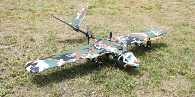
Foxtech is one of China’s largest online sources for industrial multicopters, fixed -wing and VTOL products. These commercial-grade drones are suitable for surveying, mapping, power line inspection and a wide variety of other commercial applications. The NIMBUS VTOL Mapping Version is one of their newest offerings: a best-selling and cost-effective drone for mapping and surveying.
The NIMBUS VTOL a Tri-copter VTOL with vector Yaw features great power redundancy, and can lift 500g – more than a pound – easily. The max flying speed is up to 35m/s, and with one 6S 10000mAh lipo battery, flight duration is approximately 1 hour including take-off and landing. Nimbus VTOL features good system security, and can switch to multicopter mode to save the plane and land safely in case of failure. The drone can launch directly from an area as small as 3x3m. With a suitable speed and up to a 60-minute endurance, NIMBUS VTOL is capable of covering broad areas that other drones of the same size cannot, saving clients significant time.
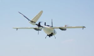 For mapping applications, FOXTECH Map-01 and Map-A7R mapping cameras are good options for higher-quality mapping and survey missions. Whether for inspection or for map-making, the combination of Nimbus VTOL and Map-01 or Map-A7R camera offers an impressive solution for UAV surveying.
Foxtech Map-01 is an interchangeable lens camera with APS-C sensor and 24.3 MP pixels, which is very small and light, only 155g. The camera’s lens can change easily to meet your needs: the compatible lens are E35mm F1.8, E20mm F2.8, E16mm F2.8 and more. Foxtech Map-A7R is a 35mm full-frame interchangeable-lens camera with 42 megapixels. And, the Map-A7R can save 30% more photos compared with Map-01, covering the same operation area.
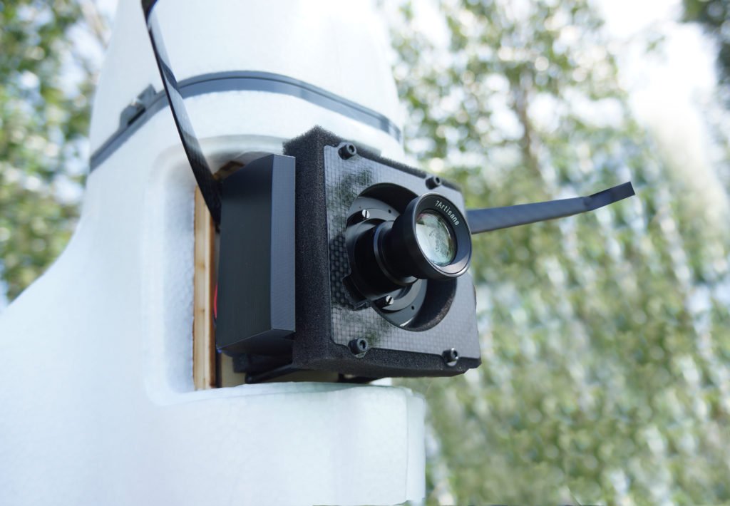 Foxtech Map-01 camera and Foxtech Map-A7R can be easily integrated into many different UAVS and small aircraft because of the light weight and small size. The mapping cameras also could be connected with PPK&RTK system to ensure a centimeter-level accuracy aerial survey through a trigger switch signal. After the flight, an accurate photogrammetric model will be generated by software like Pix4D, Smart3D or Photoscan.
The Nimbus VTOL Mapping Version can go waypoints & click-go automatically in either fixed wing or multicopter mode by changing settings in the ground station. The newly released Foxtech GS01 Ground Station integrated transmitter, receiver and Windows system gives the pilot full control over the drone, while allowing auto flight programming.
GS01 handheld ground station can realize real-time flight status and control status feedback, also waypoint planning function etc. Real-time telemetry data can be displayed on the screen during flight including flight mode, altitude, speed over ground, distance from home, GPS position coordinates, and aircraft battery status. The GS01 handheld ground station equipped with Windows systems supports most of the ground station software, like pixhawk and AheadX. An industrial-grade computer and military-grade transmission link will ensure the security and stability of your drones.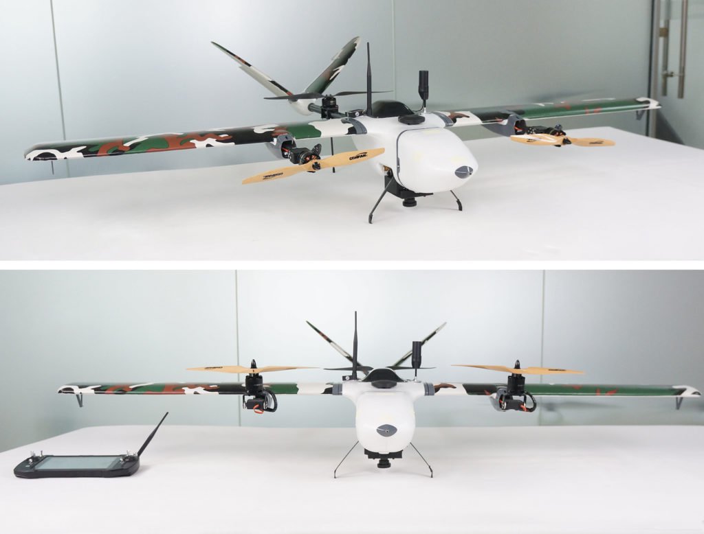
Foxtech Nimbus 1800 VTOL mapping version coupled with Foxtech Mapping camera and GS01 Ground Station is a high-quality and cost-effective mapping combo – a good option for clients to perform precision mapping jobs.
 Unmanned Aerial Vehicle The latest drone news
