8:07 am
differences between LiDAR and Photogrammetry, Drone, drones for surveying, Feature 1, Industries, Landpoint, LIDAR, News, photogrammetry, Surveying, surveying drones
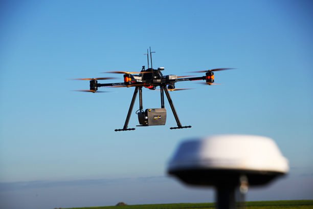
By Cargyrak (Own work) [CC BY-SA 4.0] The following is a guest post from Dustin Price, licensed land surveyor and operations manager at Landpoint: a surveying, aerial data and technical services provider. There has been an influx of new and, in some cases, game-changing surveying technologies that have popped up …
Read More »
12:52 pm
Andrew Duggan, Boeing, Business and Finance, Drone, Drone News Feeds, Fixed wing, Imaging, Insitu, LIDAR, Mining and Aggregates, News, photogrammetry, ScanEagle, Sensors
Boeing subsidiary Insitu has revealed that its latest advancements in High Accuracy Photogrammetry (HAP) are pushing the theoretical limits of aerial photography at altitude. Last month Insitu’s latest prototype carried a HAP payload that can capture images accurate to within five centimeters (cm) horizontally and 10cm vertically. Insitu describes this …
Read More »
11:52 am
Drone, drone mapping, News, photogrammetry, Pix4D, Rwanda
picture courtesy Pix4D Rwanda has already established itself in drone information. The nation deliberate one of many world’s first drone ports, and has established one of many first working fashions of drone supply of medical provides, with their associate Zipline. The nation has already established rules for drones, and is taking a management …
Read More »
1:11 am
Drone, drones in agriculture, News, photogrammetry, Pix4D, UN Panel Food Security
image courtesy Pix4D Swiss drone photogrammetry and mapping experts Pix4D will speak today at the UN Panel on Food Security. The company’s participation is another sign that drones are becoming widely recognized as a significant factor in precision agriculture. “The United Nations Commission on Science and Technology for Development (CSTD) will …
Read More »
10:37 am
Drone, Eos, Inspection, inspection drones, News, photogrammetry, PhotoModeler
Eos Systems recently released a photogrammetry software package created specifically for drones. This past week, the Canadian firm announced the launch of PhotoModeler UAS 2016. The suite creates 3D imagery, maps and measurements from images transmitted via drone and integrates them with full geographic coordinate systems support. “Photogrammetry has been …
Read More »
4:03 pm
commercial drone news, Commercial Drones, Drone, eBee Plus, mapping, Parrot, photogrammetry, senseFly, Surveying
Parrot‘s commercial drone company senseFly has announced that they will unveil the eBee Plus system next week at the InterGEO conference in Hamburg, Germany. The new eBee Plus system enhances eBee’s existing fixed-wing commercial drones, industry leaders in many applications including agriculture. The new system adds a photogrammetry-optimised RGB sensor and next-gen flight …
Read More »