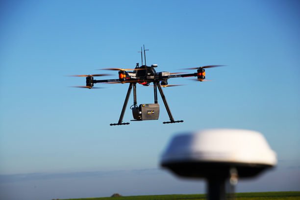
By Cargyrak (Own work) [CC BY-SA 4.0] The following is a guest post from Dustin Price, licensed land surveyor and operations manager at Landpoint: a surveying, aerial data and technical services provider. There has been an influx of new and, in some cases, game-changing surveying technologies that have popped up …
Read More »Surveying with Drones: The Key Differences Between Aerial Li…