LiDAR uses laser pulses to measure distance directly. That gives it better vertical accuracy (0.4-1.2 inches vs. photogrammetry’s 0.8-1.6 inches) and lets it work through vegetation and in low light. Photogrammetry stitches overlapping photos into a 3D model instead. It costs far less ($20,000-$30,000 in equipment vs. $50,000-$350,000 for LiDAR) and produces richer visual detail for open, unobstructed sites.
What’s the actual technical difference?
LiDAR fires laser pulses at the ground and measures the reflected light to calculate distance, building a point-cloud model of the terrain. Photogrammetry takes overlapping photographs and uses the overlap to reconstruct a 3D model. The output is a fully textured, photorealistic visual model rather than a bare point cloud.
Which one is more accurate?
Both can reach centimeter-level accuracy under good conditions, but they’re not equally strong in every direction. Photogrammetry offers excellent horizontal accuracy but weaker vertical accuracy, since it mainly relies on nadir (straight-down) image capture. LiDAR generally beats it on vertical precision — roughly 0.4-1.2 inches versus photogrammetry’s 0.8-1.6 inches. That’s because it measures distance directly rather than inferring it from image geometry.
Where does each one struggle?
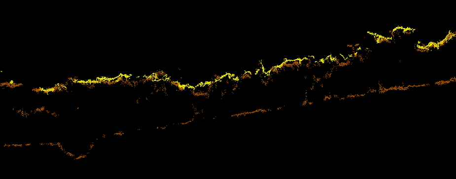
Photogrammetry accuracy degrades badly on homogeneous surfaces — snow, sand, water, fresh asphalt — and under vegetation canopy, because its feature-matching algorithm needs visually distinct points to triangulate from. LiDAR keeps working in those conditions because it doesn’t depend on visual texture. It can also penetrate vegetation canopy to map the ground surface underneath, something photogrammetry simply cannot do. LiDAR works day or night; photogrammetry depends on ambient light.
What does each option cost?
Photogrammetry setups run roughly $20,000-$30,000. LiDAR systems cost significantly more, $50,000-$350,000 depending on sensor quality and range. That gap is the main reason photogrammetry remains the default choice for many mapping jobs, even where LiDAR would technically perform better.
So which should you actually choose?
Photogrammetry makes sense for open-area mapping where cost matters and the site doesn’t have heavy vegetation, low light, or featureless surfaces to contend with. Think construction sites, open agricultural land, most real estate and general-purpose mapping. LiDAR earns its higher cost on complex or obstructed sites: forested terrain where you need the ground surface under the canopy, corridor mapping for power lines or pipelines, and any job requiring precise vertical accuracy regardless of lighting or surface texture.
Sources: YellowScan, Propeller Aero.