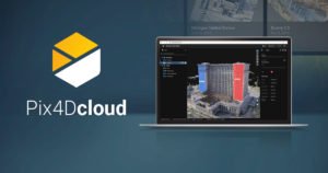
Pix4D launches stand-alone photogrammetry cloud processing solutions Lausanne, Switzerland, June 9th, 2020: Pix4D, the photogrammetry and drone-mapping industry leader, announces today the release of Pix4Dcloud and Pix4Dcloud Advanced: the new mapping platforms for online surveying workflows and construction site monitoring. These stand-alone cloud products run Pix4D’s photogrammetry algorithms for mapping and modeling reality from images. …
Read More »Pix4D announces Stand-Alone Photogrammetry with Cloud Proces…