This week the INTERGEO conference takes place: the world’s biggest conference for the geospatial industry. Drones have become such a big part of the geospatial industry that there is now a dedicated section of the show for them: INTERAERIAL Solutions focuses on aerial surveying using drones. At Intergeo today, the world’s largest drone manufacturer, DJI announced two new payloads that could take aerial surveying to the next level: an integrated Lidar drone solution and a powerful full-frame camera.
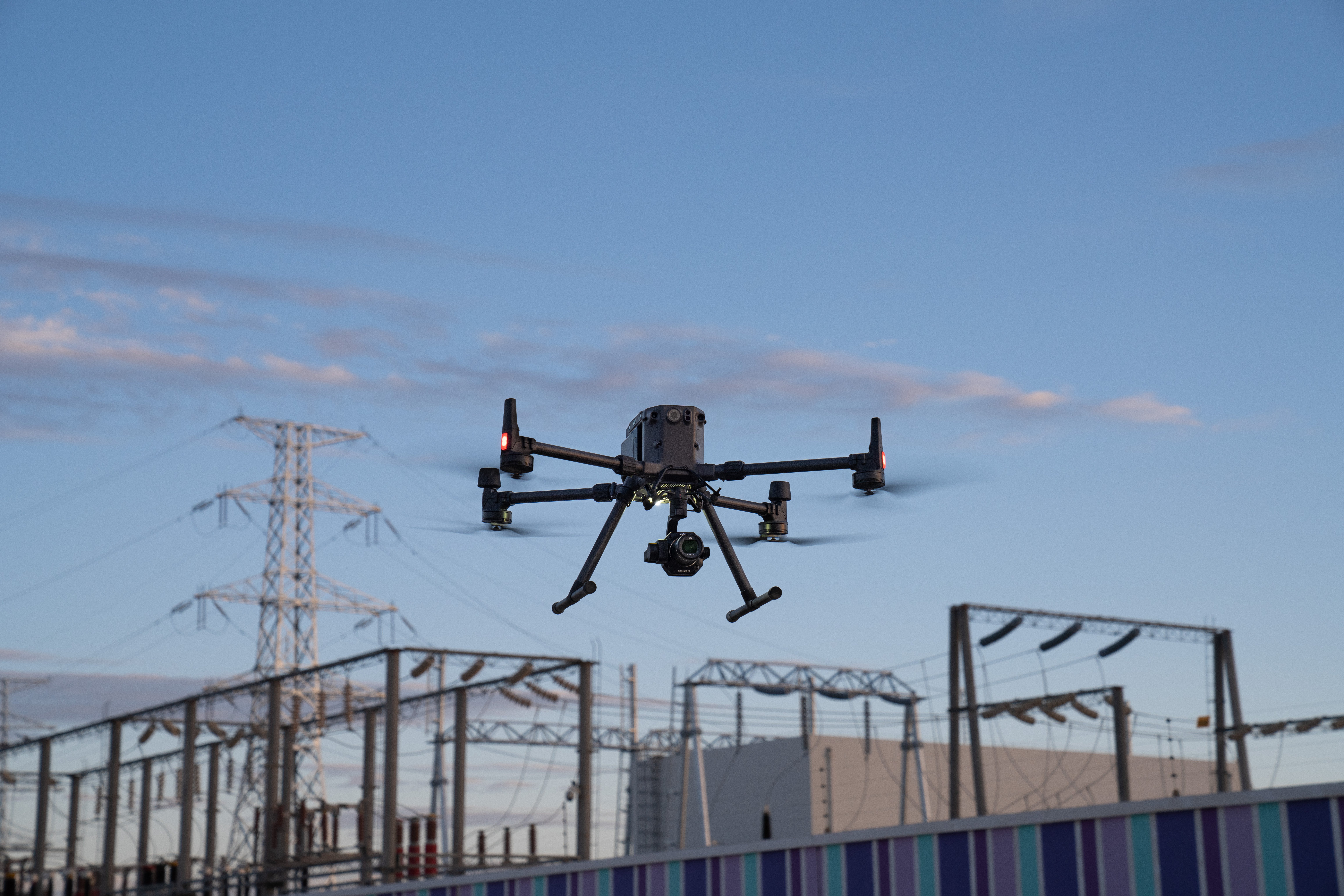
The two new payload solutions are integrated with DJI’s commercial drone platform Matrice 300 RTK. The DJI Zenmuse P1 and DJI Zenmuse L1 “are set to be game-changers for the industry, bringing more efficiency and new perspectives at an affordable cost without compromising the quality and accuracy of the data collected for precise aerial inspections and data collection missions,” says a DJI release.
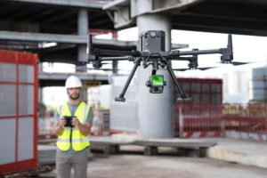
“With these two new payloads, we are providing an all-integrated complete solution to our enterprise customers active in accurate geospatial data acquisition,” said Arjun Menon, Engineering Manager at DJI in the US. “Having a fully integrated capable and affordable Lidar seamlessly integrated into our best commercial drone is a dream that becomes reality for surveying, mapping and construction professionals. They will be able to see, cover and understand the geospatial context from a totally new perspective thanks to the high level of accuracy and quality of the data collected from these tools in the sky.”
 DJI Zenmuse L1 – DJI’s First Lidar Solution For Aerial Surveying
Lidar technology is an important tool in aerial surveying: it’s critical for creating true-color point cloud models in areas with heavy foliage or low light. Many powerful Lidar solutions are too heavy for drones or extremely expensive, limiting the cost benefits of drone surveying over helicopters. DJI has been working on developing a lower cost, lighter weight solution, introducing solutions at AirWorks this year. The Zenmuse L1 is DJI’s first Lidar solution for aerial surveying. The L1 is “a major breakthrough in democratizing Lidar technology by being easy to use and accessible,” says the release.
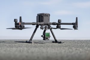
The Zenmuse L1 integrates a powerful yet ultra-lightweight Livox Lidar module with a 70° FOV, a high-accuracy IMU, and a 20-megapixel camera with a 1-inch CMOS sensor and a mechanical shutter on a 3-axis stabilized gimbal. The Zenmuse L1 can generate true-color point cloud models in real-time, or acquire a vast area (up to 2 km2) of point cloud data in a single flight. With a Point Rate of 240.000 points per second and a detection range of 450 meters, the ease and speed of capturing quality Lidar data is unprecedented. The module supports both Line Scan Mode and Non-repetitive Scanning Mode, a unique technology developed by Livox. This will provide full coverage of the area of interest in very short amounts of time, and allows the sensor to capture data in any direction, instead of along a defined plane.
The Zenmuse L1 is integrated with DJI’s commercial drone platform Matrice 300 RTK. DJI also offers Terra surveying software: the combination provides a solution “that gives the user real-time 3D data throughout the day, efficiently capturing the details of complex structures and delivering highly accurate reconstructed models.”
 DJI Zenmuse P1 – Full Frame Photogrammetry – The New Benchmark For Aerial Surveying
“Over the past few years, DJI Enterprise has dedicated significant efforts and commitments to professionals from the Architecture, Engineering, Construction and Surveying industries. Experts have adopted drone technology and naturally turned to the DJI P4 RTK’s capability to capture data for centimeter-level accurate maps and models for a range of applications, from cadastral surveys to natural heritage site models,” says DJI
The new DJI Zenmuse P1 is the most powerful DJI camera payload dedicated to geospatial data acquisition: integrating “a 45-megapixel full-frame low-noise high-sensitivity sensor offering flexible viewing with interchangeable 24/35/50mm fixed-focus lenses on a 3-axis stabilized gimbal.”
“The DJI Zenmuse P1 provides high accuracy without Ground Control Points (3cm horizontally / 5cm vertically) and high efficiency as it is able to cover 3 km2 in a single flight,” says the release. “Equipped with a mechanical shutter and the all-new TimeSync 2.0 system, which synchronizes time across modules at the microsecond level, the Zenmuse P1 lets users capture centimeter-accurate data combined with real-time position and orientation compensation technology.”
Setting a New Standard
DJI holds, by many estimates, about 70% of the commercial drone market. Today’s announcement shows that the company hasn’t slowed down in developing commercial solutions for large new markets. Although drones have a presence in the surveying industry, they still aren’t standard. With these two new payloads for the aerial surveying industry, DJI could be changing that. With high quality sensors at a more compelling price, more survey work can shift to drones: and with integrated solutions and more automated flight making the workflow less complicated, more surveyors may choose to adopt drones as a standard tool.
Price and Availability
The DJI Zenmuse L1 and DJI Zenmuse P1 are available for pre-order from official DJI Enterprise dealers worldwide and will start shipping in early 2021. Pricing details and information on where to buy will be available at your local DJI Enterprise Partners.
DJI Enterprise dealer map: https://www.dji.com/where-to-buy/enterprise-dealers
To learn more about the DJI Zenmuse L1: www.dji.com/zenmuse-l1
To learn more about the DJI Zenmuse P1: www.dji.com/zenmuse-p1
To download photos of the DJI Zenmuse P1 and DJI Zenmuse L1: click hereTo watch the Keynote Presentation of the DJI Zenmuse P1 and Zenmuse L1: click here
To attend INTERGEO, the world’s largest conference and leading trade fair in the field of geodesy, spatial data and land management: click hereTo learn more about the DJI Matrice 300 RTK: click here
Miriam McNabb is the Editor-in-Chief of DRONELIFE and CEO of JobForDrones, a professional drone services marketplace, and a fascinated observer of the emerging drone industry and the regulatory environment for drones. Miriam has penned over 3,000 articles focused on the commercial drone space and is an international speaker and recognized figure in the industry. Miriam has a degree from the University of Chicago and over 20 years of experience in high tech sales and marketing for new technologies.
For drone industry consulting or writing, Email Miriam.
TWITTER:@spaldingbarker
Subscribe to DroneLife here.
https://dronelife.com/2020/10/14/aerial-surveying-dji-introduces-2-new-powerful-payloads/
 Unmanned Aerial Vehicle The latest drone news


