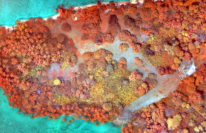
Image from MicaSense RedEdge USGS Unmanned Aircraft Systems [CC BY 2.0]
Data gathered from sophisticated sensors requires sophisticated processing. Now, SimActive Inc., a leading developer of photogrammetry software, has announces the release of Correlator3D™ version 8.2 – which provides advanced processing capabilities of multispectral imagery.
Correlator3D’s new version registers multispectral as well as infrared images automatically, and the resulting fused data can be used in the software to create Digital Surface Models (DSMs), Digital Terrain Models (DTMs) and generate multiband orthomosaics seamlessly.
Multispectral imagery from sensors like the MicaSense RedEdge™ and Altum™ or the Parrot Sequoia are used in applications like precision agriculture, where the highly precise Digital Surface Models or Digital Terrain Models allow agronomists to evaluate elements such as water flow.
“There is a growing need for multispectral sensors in agricultural applications such as crop management”, said Louis Simard, CTO at SimActive. “The new version allows our users to profit from the multiple bands available, seamlessly.”
SimActive’s software was originally developed utilizing satellite images or images gathered from helicopters: the software now accomodates drone data, which expands the applications for the software further. With this new version, Correlator 3D offers epanded use cases for their clients.
CEO DroneLife.com, DroneRacingLife.com, and CMO of Jobfordrones.com. Principle at Spalding Barker Strategies. Proud father of two. Enjoys karate, Sherlock Holmes, and interesting things. Subscribe to all things drone at DroneLife here.
https://dronelife.com/2019/06/04/multispectral-imaging-processing-expands-drone-applications-in-agriculture-and-more-for-simactive/


