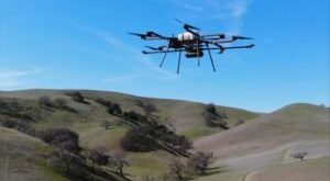
Routescene case study demonstrates the benefits of using drones to manage powerline vegetation. by DRONELIFE Staff Writer Ian M. Crosby The latest in a series of forestry based case studies conducted by Routescene showcases the value of remote sensing techniques like UAV LiDAR for identifying diseased or damaged trees and …
Read More »Drones to Manage Powerline Vegetation