
AirMap has been a major player in the drone industry since their inception in 2015. Over time, however, AirMap’s offering has changed: and the company has shifted from being an airspace intelligence platform to staking a place as a global leader in unmanned traffic management (UTM).
With a slew of new partnerships and announcements about UTM projects around the world, AirMap’s influence in the drone industry this year is continuing to expand around the globe. DRONELIFE spoke with AirMap CEO about how the company got there, what they’re doing now, and what the future holds for drones.
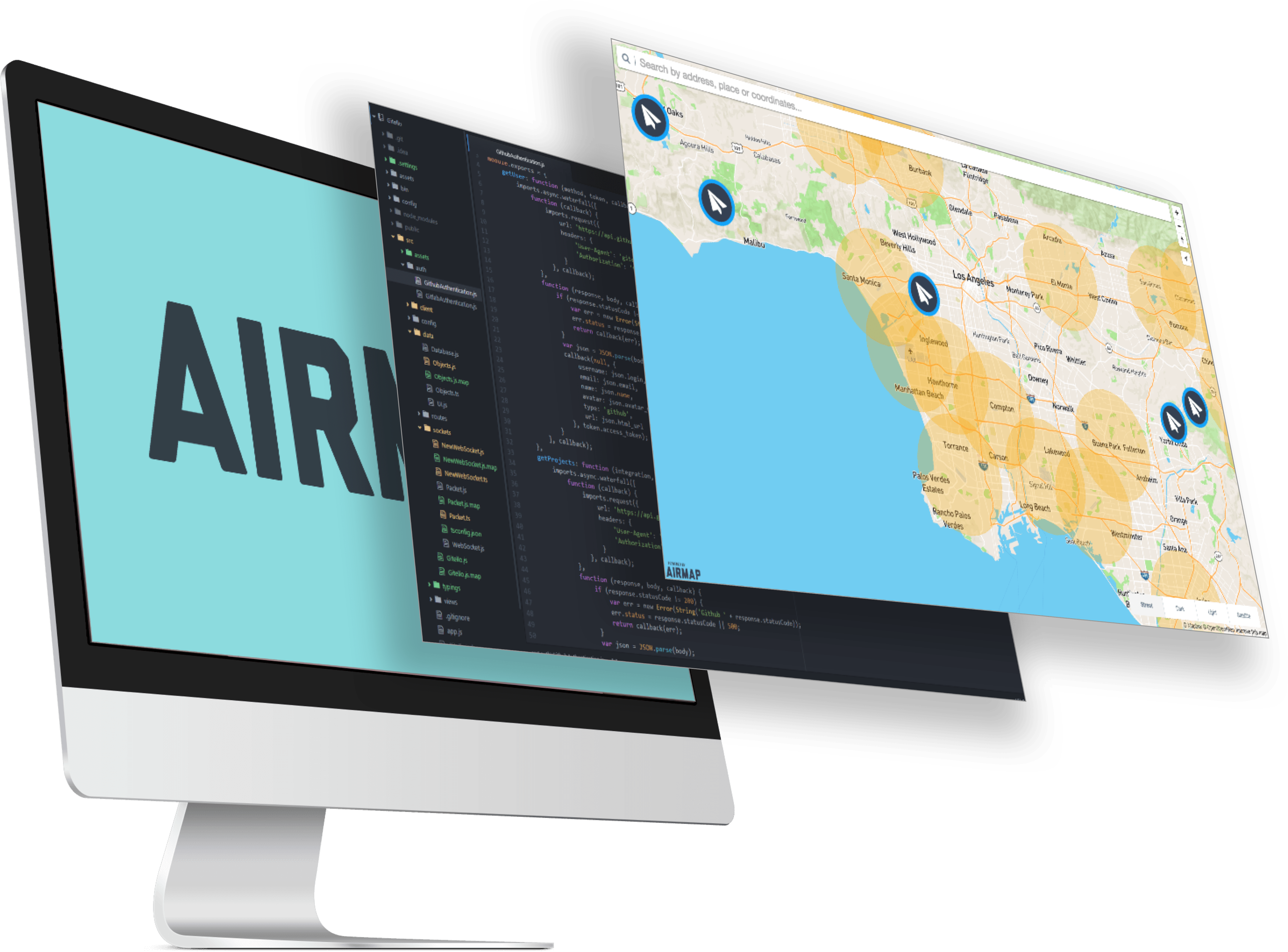
image courtesy AirMap
Joining the Conversation About UTM
“If you look at AirMap’s journey, the company started by taking the rules that the FAA and others published, and we digitized it – we turned it into a map, which made it easier to understand. We partnered with drone manufacturers to use that API,” says Hose. “Step 2 was to launch our own app. Over time we’ve added a lot more capabilities – in parallel, we were very active with research groups all over the world to help define what UTM is. UTM is a holistic approach to the problem of unmanned traffic.”
“What we’ve done is recognized that a lot of the services that are valuable to operators come from authorities like the FAA – so we’ve worked with them to remove a lot of friction from operators’ ability to fly. That’s what we want to keep doing, all over the world – make it easier for pilots to fly.”
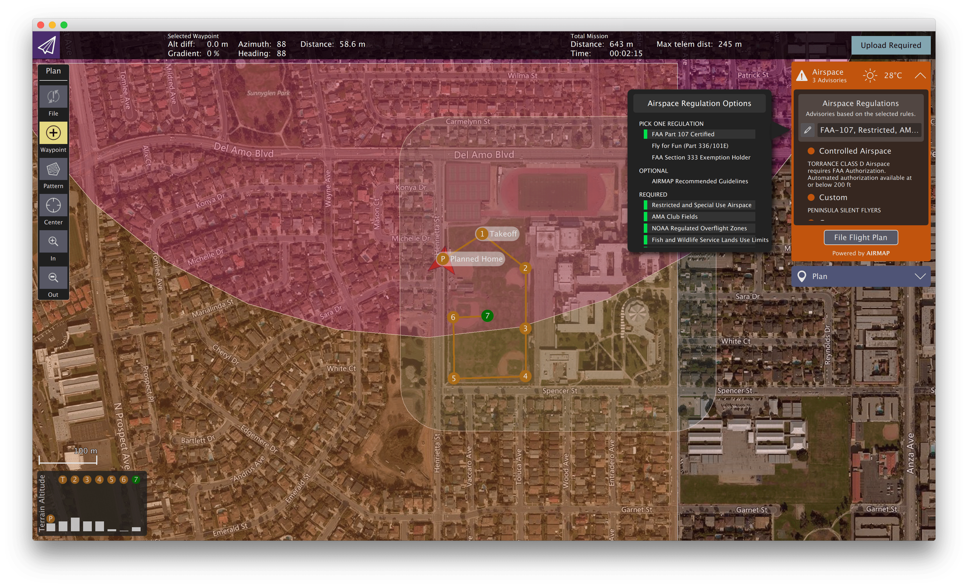
image courtesy AirMap
Still, much of the work that AirMap is doing to clarify flight regulations and contribute to UTM stem from the familiar AirMap visual. “The map is a critical underpinning of all of this… for drone operators, it’s not easy to read regulations and translate them into real life. An interactive map makes that much easier, and we’ve invested in that. We have an active program of tracking regulations and making sure the maps are as up to date as possible – and we work with various authorities to ensure that they are accurate. That’s an ongoing investment.”
 Part of AirMap’s success has been leveraging that investment with APIs that allow the AirMap solution to be used in thousands of applications. “We have something over 2,000 registered developers who are connected to our service. That allows us – and the industry – to keep up with new regulations. We enter it once and everyone has access.”
Global Partnerships
While AirMap ended a major partnership with drone manufacturer DJI last year, the company has made numerous agreements around the world in its developing role in UTM. “As we’ve been working on the UTM systems around the world, we’ve realized that no one company can do it all,” says Hose.
 AirMap is heavily involved with the idea of remote ID for drones, and one recent partnership – with Fortem Technologies, a counter drone solution – demonstrates that. The idea is simple and elegant: AirMap can identify commercial operators with legitimate business in a restricted area. Fortem can identify all of the UAVs in an area. Compare the two lists, and you’ll know who the unauthorized operators are. Hose says this is an important step towards ensuring safety and expanding legitimate commercial applications.
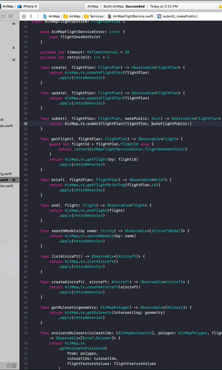
image courtesy AirMap
“As a player in the drone industry, we’re very concerned about the recent airport closures… as an industry, we have difficulty understanding what happened. Our hope is that through partnerships we can give examples of how a collaborative solution can work to provide clarity.”
That clarity is especially important for stretching the boundaries of what is currently allowed as normal drone operations. “This is about removing ignorance about what’s happening in the airspace – it’s core to AirMap’s vision,” says Hose. “We’re building towards a world where there will be autonomous flights for drones, and the way that you get there is by having complete visibility into the airspace – otherwise autonomy is incredibly difficult to achieve.”
Other partnerships cover a wide range of capabilites – all driving towards a working global UTM framework and expanded operations.
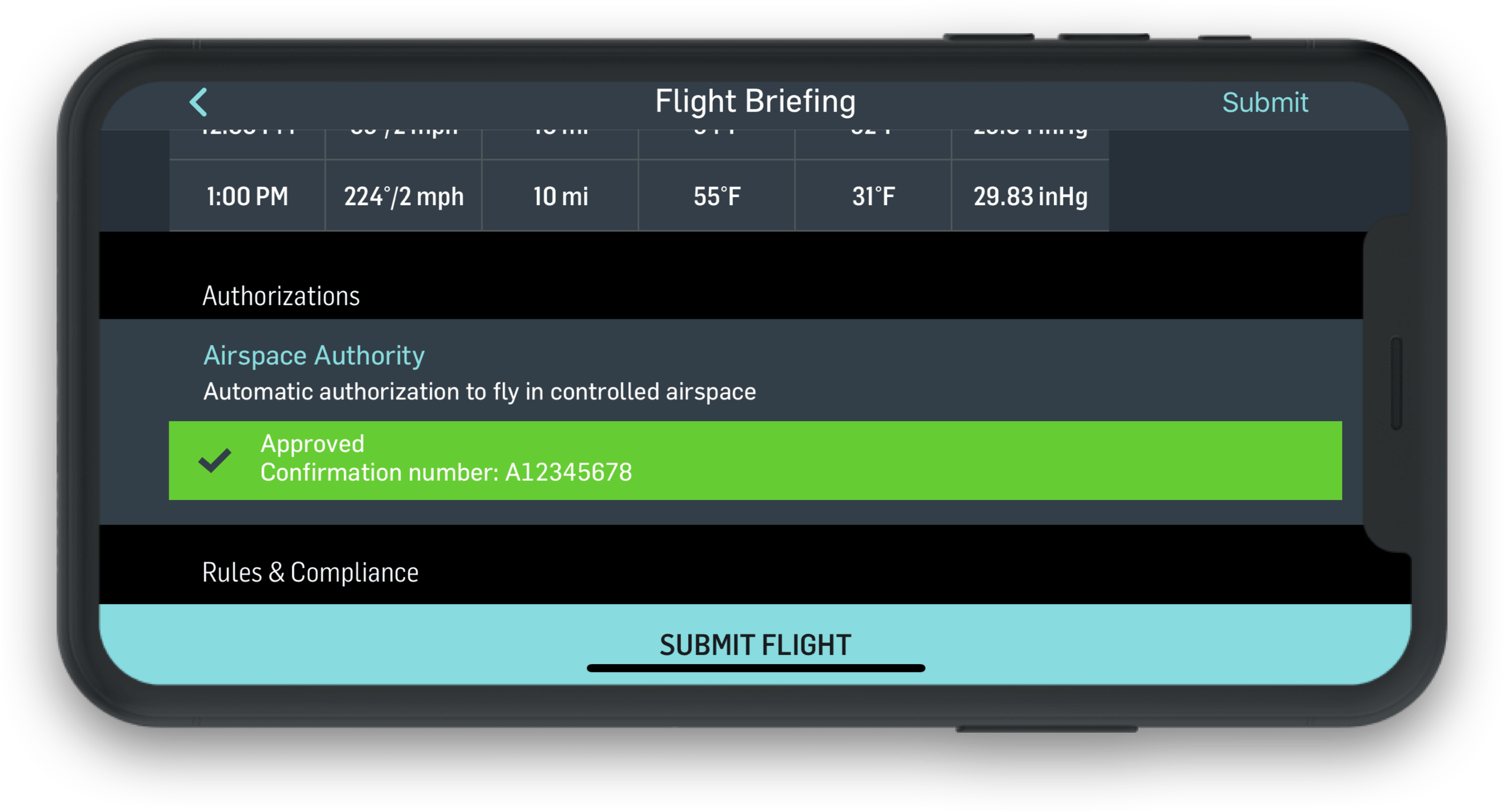
An agreement with Skyguide to roll out nation-wide U-Space in Europe represents the first time that the FAA’s LAANC program will be deployed outside of the US, Hose says, showing FAA leadership and the adoption of this approach by other countries.
A partnership with Honeywell to develop a light and low cost communications hardware component will help make communications more reliable, and ensure that drones don’t lose communications with UTM systems during flight. With that partnership, says Hose, “We’re highlighting our focus on BVLOS flight – and one of the critical safety aspects of BVLOS [beyond visual line of sight] flight is communications. ”
“It’s another tool in the toolkit for BVLOS operations.”
Perhaps the partnership that hightlights AirMap’s global reach best is the newly announced collaboration with INDRA – one of the top 2 providers of air traffic management systems in the world. Based in Spain, the company provides solutions in over 160 countries. “Drones are a worldwide phenomena – the good things we hear and the challenges that we hear about drones are happening everywhere. This partnership will help spread UTM technology rapidly around the globe.”
 What’s Next for AirMap?
AirMap is on a roll with partnerships and collaboration around the world – and for the next year, they’ll be doing more of the same. “We’ll continue to invest across the spectrum – you’ll see more countries where we’re working directly with the airspace authorities, you’ll see more developers and partners as we integrate these technologies, you’ll see continued progress on automation as we continue to work with groups around the world to prove out the safety case for autonomous flight.”
Miriam McNabb is the Editor-in-Chief of DRONELIFE and CEO of JobForDrones, a professional drone services marketplace, and a fascinated observer of the emerging drone industry and the regulatory environment for drones. Miriam has a degree from the University of Chicago and over 20 years of experience in high tech sales and marketing for new technologies.
Email Miriam
TWITTER:@spaldingbarker
Subscribe to DroneLife here.
https://dronelife.com/2019/04/02/airmap-expanding-their-role-in-the-airspace-an-interview-with-ceo-david-hose/


