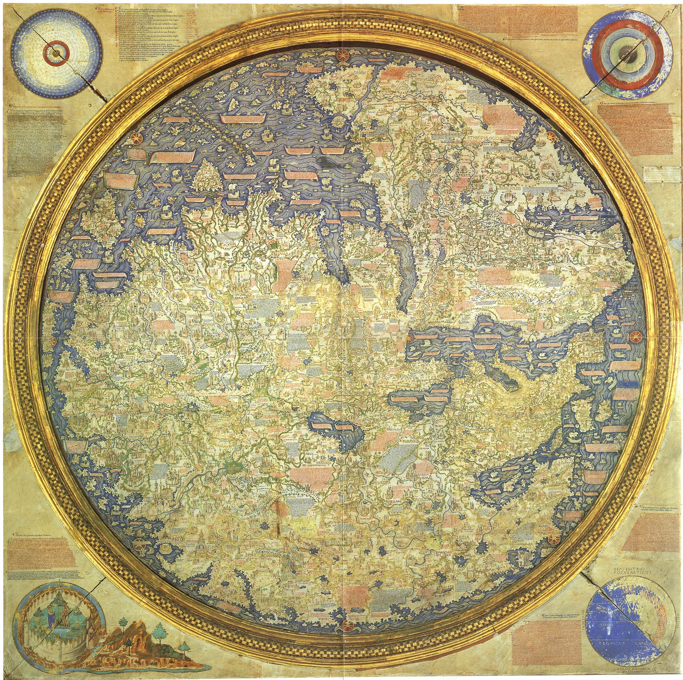
While neither job is one that your average middle schooler has high on their list of professional options, cartography – which is defined as “the science or practice of drawing maps,” and photogrammetry – “the use of photography in surveying and mapping to measure distances between objects,” were tied at number 15, with an expected growth rate of 29% and a median pay of $60,930.
Both jobs, traditionally performed on the ground, are being rapidly taken over by drones. Aerial imagery combined with sophisticated 3D mapping and analytics is used in a variety of applications: agriculture, construction, environmental, and humanitarian aid are just some of the sectors that have benefited from drone mapping and photogrammetry.
Recent use of drones to survey wildlife, for example, has allowed researchers to use photogrammetry to evaluate the health of whales; mapping has allowed rescue and rebuilding efforts after earthquakes and other disasters in many undeveloped countries. With drones able to access areas that have been unreachable – or at least expensive and difficult to reach -using traditional means, the potential applications for mapping and photogrammetry can only expand.
Companies like AutoDesk – the makers of AutoCad software, familiar to architects and builders – have embraced drone technology, investing heavily in drones to take advantage of new opportunities. Hundreds of drone technology companies are developing mapping and photogrammetry solutions for different applications; and it looks like one area that may be among the first to take off with the commercial drone industry.
Source link