
The University of Southern California Spatial Sciences Institute offers flexible, online degree and certificate programs that provide the education -and the respected credentials – required to succeed in using drones for GIS mapping. Read on to learn more about how the University of Southern California is helping to shape the way GIS professionals gather data.
How GIS Experts Capture Insights From Drones
Unmanned aerial vehicles (UAVs) offer a powerful means to observe everything from shifts in the atmosphere to military actions on the ground. Professionals who work in the field of geographic information science (GIS) or geospatial intelligence (GEOINT) harness the remote sensing data gathered by drones to discover valuable insights for a variety of fields.
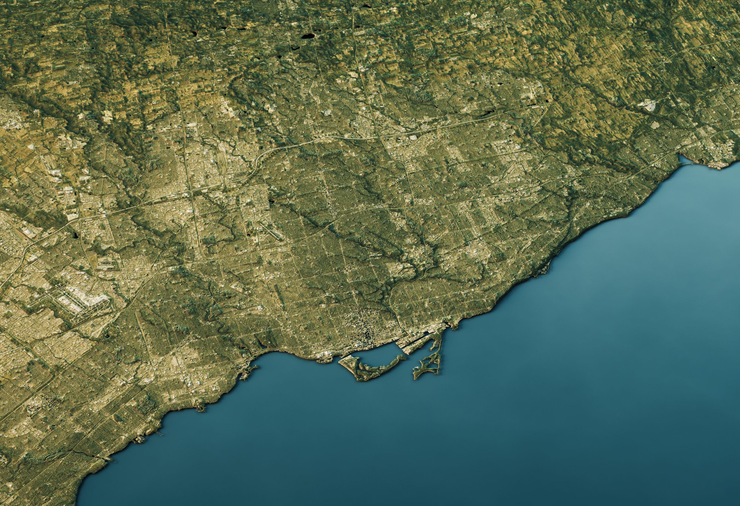
3D Render of a Topographic Map of Toronto, Canada.
For example, urban planners use drone technology to map and project urban expansion and make better decisions for the future of our cities, while environmental scientists gather data related to everything from deforestation to endangered species migration patterns. The applications of drones are virtually limitless and increasingly crucial for helping us understand our world.
UAVs equipped with technology such as digital cameras, multispectral sensors and GPS have become crucial to GIS mapping and data collection. Drones may serve to verify and supplement crowdsourced information as well as provide new perspectives on areas that are otherwise difficult or dangerous to survey.
The faculty at the University of Southern California Spatial Sciences Institute developed online programs specifically to help professionals from any background analyze just this kind of information, applying what they learn to the challenges of businesses, government agencies, nonprofit organizations, or the armed forces. According to Professor of the Practice COL [R] Steven D. Fleming, state-of-the-art GIS tools and best practices can make the most of input from drones and other sources.
“Whether we’re talking satellite collects or airborne collects or even terrestrial collects, the requirement today to be able to manage the different forms of data is changing rapidly, and we have to make sure we understand the software applications that best do it,” he said.
Online programs from the USC Spatial Sciences Institute offer first-hand experience in acquiring spatial data through drones. Many students participate in an excursion to USC’s Wrigley Marine Science Center on Catalina Island, where they dispatch UAVs to collect geographic information in an outdoor setting and complete their own research projects.
The trip to Catalina Island is the most memorable aspect of the program for many graduates—including epidemiologist Mine Metitiri, who earned a Master of Science in Geographic Information Science and Technology (GIST). Metitiri’s work exemplifies how spatial thinking can be directed at complex problems in a variety of disciplines. As deputy director of cancer registry programs at the public health nonprofit Vital Strategies, she collaborates with agencies across Asia, Africa and Latin America to improve how they turn data into policies in addition to providing GIS training to public health practitioners and decision-makers.
“I am passionate about GIS because it allows people to see their data in a way that connects to them more than numbers or labels do,” Metitiri said. “It speaks to a person’s heart as well as the mind.”
Nathan Novak, another USC alumnus who holds an MS in GIST, specializes in operational airborne survey capabilities at Leidos, Inc., a Fortune 500 Department of Defense contractor. Novak is also highly optimistic about the field, crediting his graduate education with dramatically transforming his career.
“I have been to over 30+ GIST conferences and have yet to meet one person who isn’t truly passionate about the future of geospatial technologies,” Novak said.
The USC Spatial Sciences Institute prepares students for the future of the discipline in the following online master’s and graduate certificate programs:
https://dronelife.com/2021/02/12/uscs-spatial-sciences-institute-offers-the-education-you-need-to-use-drones-in-gis-mapping/


