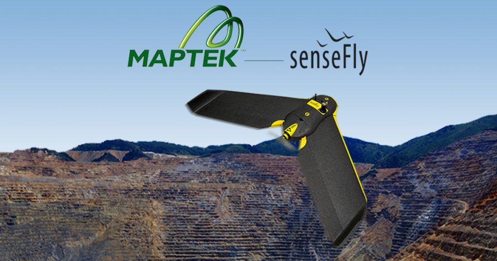
The new commercial partnership will allow Maptek to begin providing its customers with senseFly’s professional drones, the eBee, eBee RTK and albris with its I-Site Studio 3D modeling software. The senseFly commercial drones are a unique offering – the eBee drone is ultra-lightweight, tipping the scales at about 1.5 pounds. With long flight times and an easy to use, autonomous flying technology (“…just throw the eBee into the air!” claims the senseFly website) the drone has garnered significant press and attention since being introduced at CES 2014. The Swiss company SenseFly has been a subsidiary of French drone company Parrot since 2012, providing the primarily consumer drone company with an impressive – and growing – commercial business.
“senseFly’s durable, largely automated mapping drones are already employed by thousands of professionals, such as mining engineers, around the world, who appreciate the productivity and safety boosting benefits of collecting geospatial data from the air,” says Jean-Christophe Zufferey, senseFly’s CEO, in a company statement. “By partnering with Maptek we are joining forces with one of the industry’s most respected and recognised solution providers, a company that is perfectly positioned to help bring such benefits to even more mining professionals.”
SenseFly says that the total solution offering makes it easy for mining customers to garner the return on their investment. “The process of collecting, analysing and making decisions in the mining industry is key to productivity and return,” Brock Ryder, senseFly Sales Director and surveyor tells DRONELIFE. “Our partnership with Maptek creates this complete workflow allowing our customers to focus on the job at hand.”
“By combining a senseFly UAV with our I-Site Studio 3D modeling software, customers in the mining industry now have a powerful solution that is driven by not only survey requirements, but the in-depth modeling, change detection and data output requirements demanded by mining professionals,” said Todd Packebush, Maptek’s Director of I-Site Sales / Business Development.
The end-to-end solution looks like a win-win scenario for both companies and customers. While mining customers get the benefits of an end-to-end, one stop shop; the senseFly mapping drones will get more exposure to a new market segment – a significant advantage in the competitive commercial drone industry.