

image courtesy Pix4D
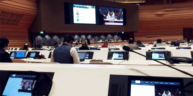
Swiss drone photogrammetry and mapping experts Pix4D will speak today at the UN Panel on Food Security. The company’s participation is another sign that drones are becoming widely recognized as a significant factor in precision agriculture.
“The United Nations Commission on Science and Technology for Development (CSTD) will hold an expert panel meeting on the role of science, technology, and innovation in ensuring food security by 2030,” says a company statement. Pix4D’s agricultural business manager Jorge Fernandez will speak to the board about drone mapping solutions for precision agriculture, and their potential impact on food security.
“The purpose of these meetings is to explore how to make agriculture more climate resilient and productive,” said Fernandez. “How can we innovate and contribute to more efficient markets? I believe Pix4D’s agriculture solution is part of that innovation and has great potential.”
Pix4Dag, a software solution that provides detailed crop information from drone imagery, converts multispectral images into accurate reflectance and index maps, and standard images into high resolution orthomosaic maps. These specialized outputs are then easily integrated into agriculture operations by the grower, enabling them to better evaluate crop health, produce tailored fertilizer application maps, and glean other information.
“What’s particularly interesting about this drone mapping solution is that it has the potential to democratize precision agriculture,” said Fernandez. “Growers don’t have to have to have a specific platform, camera, or drone, and don’t need to be scientific experts.”
Findings and recommendations of the panel may form the basis of resolutions submitted for consideration by the United Nations Economic and Social Council (ECOSOC).
Pix4D has been an active voice for the humanitarian applications that drones may provide. The company has provided their staff and expertise in drone projects across the globe to assist in emergency response efforts, such as the mapping of remote areas of Nepal after the earthquakes.


