New drone technology that could allow fleets of the unmanned vehicles to navigate without GPS, developed by MIT and NASA, could help find hikers lost in the wilderness and one day could be used to make their way over the surface of the moon and Mars, researchers say.
“You can imagine this is on the surface of Mars, we’re looking for a particular kind of sample to return,” said Danette Allen, senior technologist for intelligent flight systems at NASA. “All these things that we rely on, like GPS, for example, aren’t available to us.”
When humans are ready to begin exploring Mars, we will do so largely without a detailed understanding of the planet’s surface and where interesting discoveries might be made. Unlike terrestrial navigation, which relies on a network of satellites orbiting the globe, there will be no disembodied voice emanating from a phone with directions.
“You may or may not know exactly where you’re going,” Allen said. “This problem is much harder than most people think.”
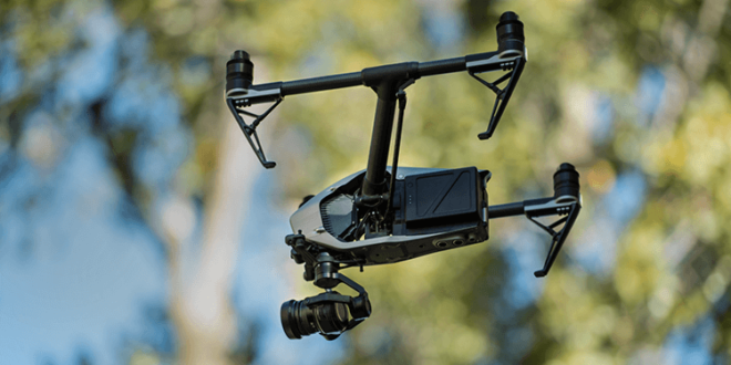
Allen and researchers from MIT have been working on a way for drones to understand their location and the location of other drones by constantly analyzing maps and using LIDAR, which measures distance from objects using lasers. Right now, the work is focused on helping to locate lost hikers in a forest, where delays could mean the difference between life and death.
“What we’re trying to do is automate the search part of the search-and-rescue problem with a fleet of drones,” said Yulun Tian, a graduate student in MIT’s Department of Aeronautics and Astronautics and the lead author of the paper. “By comparing the 2D scans, two drones can exchange their measurements and will be able to tell if they have visited the same area before.”
The combined map gives a broad view of the search area, and helps direct the drones to their next search area. The system has been tested successfully in a number of small scale tests, Tian said.
Still, the work is not yet ready for real-world use. Tian said he and other researchers will be working on making the drones lighter and cheaper, and run on batteries that will last longer.
Allen said the ability to navigate without being reliant on GPS or other external sources could also be useful in disaster areas.
The research, which is entirely funded by NASA, will continue to focus on the lost hiker scenario, but the underlying technology could be adapted by NASA for its own lunar or Martian purposes.
For example, Mars is home to a number of large lava tubes that some have speculated could eventually make for a safe place to build a colony, but have never been explored. A fleet of drones capable of making their way through unexplored territory could dramatically help exploration efforts.


