by Mike DeLue
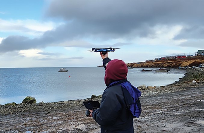
Photo by Mike DeLue
What began as a partnership between scientists and the Native Village of Unalakleet rapidly became a critical component of the statewide disaster response when ex-typhoon Merbok hammered 900 miles of Alaska coastline with high winds and storm surge in September 2022.
That’s the story behind the research presented this week at AGU by Jessica Garron, of the University of Alaska Fairbanks International Arctic Research Center, alongside co-authors from UAF, the Native Village of Unalakleet and the Association of Village Council Presidents.
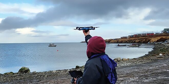
The partnership initially trained drone pilots and got them licensed by the Federal Aviation Administration. The goal was to monitor erosion, environmental change, infrastructure and other points of interest to the community and to the U.S. Coast Guard, which funded an early phase of the work.
Once Merbok struck, those same drones took to the skies to provide rapid aerial imagery and up-to-date maps detailing damage to homes, roads and oil tanks. These maps also showed the riverine and coastal erosion that occurred during the storm.
“The pilots and their equipment were already on the ground, trained and able to be deployed first by the Coast Guard and later by FEMA (Federal Emergency Management Agency),” Garron said.
Drones differ from other ways of providing imagery of affected communities. Drones can collect imagery when clouds obscure the view of satellites, can get higher resolution images, and can be redeployed easily to follow up on points of interest.
The research discusses emergency applications for drone technology and steps to integrate drones into emergency operations. The availability of FAA Part 107 licensing in remote Alaska is one significant hurdle, as is the need for a pipeline to put drone data into the hands of decision-makers in places like the State Emergency Operations Center.
“There’s also the problem of weather,” Garron said. “Drones can fly under clouds, but wind and rain can still keep them grounded. It’s a matter of having one more tool in the toolbox for situational awareness.”
Related


